top of page
Our Services
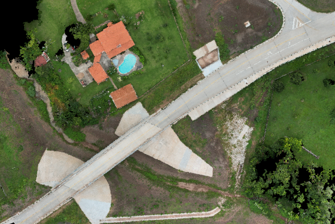
Discover the power of Drone Aerial Photography GIS Mapping Solutions for your projects. Our cutting-edge technology captures stunning aerial images and accurate data, providing you with insights that elevate your decision-making Whether you're in construction, real estate, or environmental studies, our services are tailored to meet your. Elevate your perspective let us help you visualize success!

Get a Quote
We'll deliver your data in a well-packaged, ready-to-use format, with overlapped visuals from GPS and drone data.
Fill out your information below and we will get back with you to discuss you project needs.
bottom of page